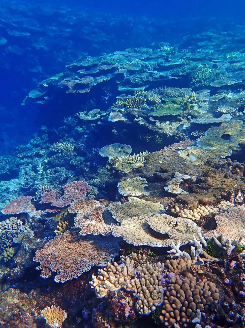
Letting the reef tide push us into the question of Where Does The Great Barrier Reef Start And Finish?
Most people know the Great Barrier Reef is massive, but that feels like an understatement. This World Heritage-listed stretch of coral reefs is like a giant, sprawling monster that just keeps going and going. When you ask people where it starts and stops, the reaction is usually a mix of shock and confusion – when you show them a map and tell them, “Mate, you’re looking at a reef system longer than the drive from Melbourne to Cairns – and with more complexity than a haulage truck on the highway.”
I’ve spent years joining Great Barrier Reef Tours groups in reef towns, seeing first-timers struggle to wrap their heads around the sheer scale of this UNESCO World Heritage Site and its marine ecosystem. So in this little story of mine, I’m gonna break it down in a way that’s easy to understand – no glossy brochures, no sugarcoating the cyclone season – just down-to-earth answers from the ground.
Grappling the Full Length of The Reef
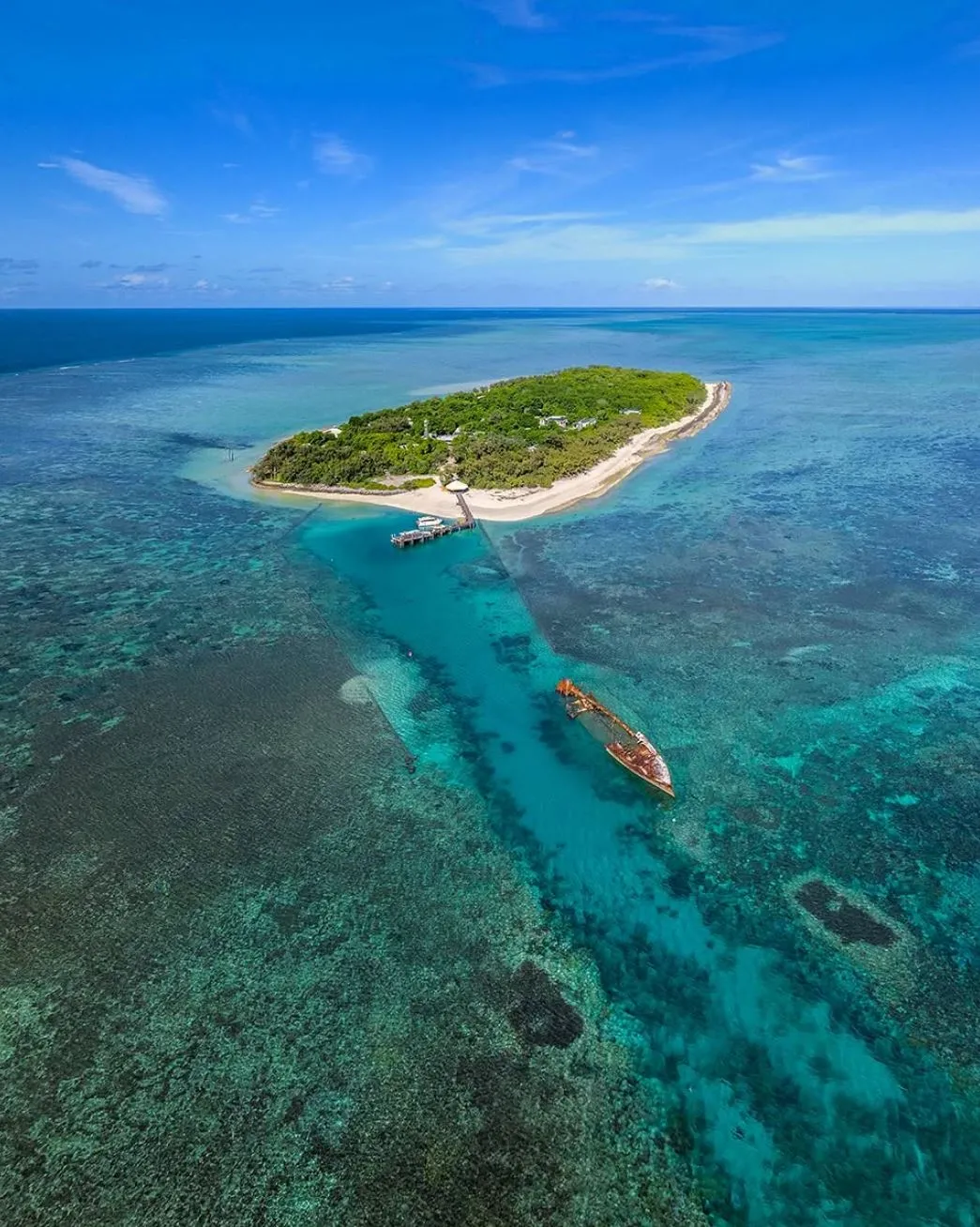
The Great Barrier Reef runs along the Coral Sea for about 2,300 kilometres, from the Torres Strait near Cape York Peninsula right up in the north to the Southern Great Barrier Reef near Bundaberg down in the south. Now try to wrap your head around that for a minute – that’s longer than the entire state of California.
It’s not just one big, continuous wall of coral, though; the reef is made up of around 3,000 individual coral reefs, 900+ coral cays, seagrass beds, lagoons, islands, channels, and deep-sea systems, all mixed. Once you get your head around the size of it all, trip planning gets a whole lot easier – you’ll know whether to fly into Port Douglas, Airlie Beach or the Southern Reef islands like Lady Musgrave and Heron Island without turnin’ your holiday into a marathon.
North End: Where The Great Barrier Reef Unfolds (Torres Strait / Cape York Region)
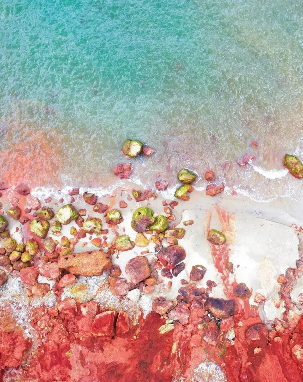 Situated right at the tip of Cape York and gazing out towards the Torres Strait, the reef’s northern limit is where the waters are at their most wild and unyielding. If you stand near Pajinka (aka The Tip), you’ll be roughly closer to Papua New Guinea than to Brisbane – that’s the Far North Queensland we’re talking about.
The marine life here is just a whole lot more intense, from reef sharks patrolling the drop-offs to turtle species nesting on some of the most remote beaches you’ll ever see, manta rays floating lazily through the offshore channels and coral reefs weathered by the warm Coral Sea currents. It feels like you’re in another world, a world that’s deeply tied to the Traditional Owners who’ve lovingly cared for this sea Country for thousands of years now.
This stretch of the reef lies entirely within the Great Barrier Reef Marine Park – a protected area managed by those who know it best, the Great Barrier Reef Marine Park Authority (GBRMPA). The Marine Park zoning really helps safeguard the fragile ecosystems that see only occasional visitors, but be sure to time your trip right, or you’ll be watching the rain pour down on the pandanus for a week.
South End: Where The Great Barrier Reef Finally Calls It A Day (Lady Elliot To Lady Musgrave)
Down at the southern end of the Great Barrier Reef, things start to wrap up around here – think Lady Elliot Island, Lady Musgrave Island, Heron Island, Great Keppel, Wilson Island and Pumpkin Island. This bit of the reef is particularly well known for its cool offshore currents, pretty consistent water quality, surprisingly healthy coral cover, and – yes, you read that right – manta rays the size of a double bed in your glamping tent.
If you’re after a chunk of the underwater world that’s relatively easy to get around, because let’s be honest, calm seas and decent visibility are pretty key – and loads of eco-certified operators like the Lady Musgrave Experience’ll look after you – then this southern end is probably the way to go.
It’s also a real hotspot for biodiversity conservation, and you’ll often find research teams from the Australian Institute of Marine Science and the Queensland Museum down here poking around to see how coral reefs recover from the odd big climate change event like a coral bleaching or mass bleaching episode.
A Quick Map Snapshot (So You Can Visualise The Distance)
Here’s a simple table to help nail down the major start and end points:
| Reef Boundary | Nearest Landmark / Town | Approx. Geography | Notes |
|---|---|---|---|
| Northern Start | Torres Strait / Cape York Peninsula | Around 10° S latitude | Remote access, cultural permits for some islands |
| Central Region | Port Douglas / Cairns / Moore Reef | Mid-reef corridor | Popular for scuba diving, pontoon tours, and semi-sub tours |
| Southern End | Lady Elliot & Lady Musgrave | Around 24° S latitude | Manta rays, coral cays, high visibility |
These distances define everything: marine species distribution, cyclone exposure, water temperature, coral health, and how you’ll plan your journey.
How The Reef Changes From North To South (So You Pick The Right Section)
You could spend a lifetime exploring the reef and still miss half of it. Each region feels like a completely different ecosystem. Let me walk you through the differences so you land where you truly want to be.
The Far Northern Wilderness (Cape York To Lizard Island)
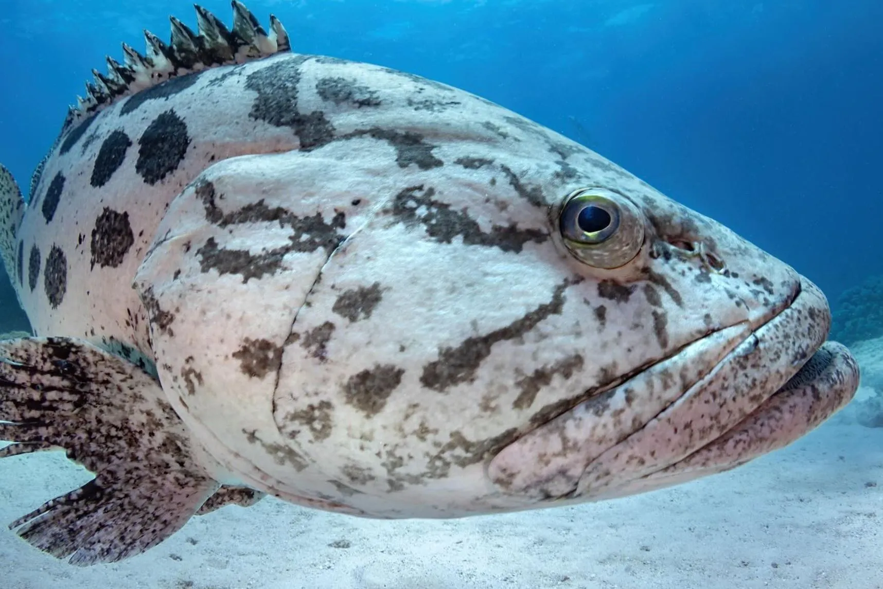
Up here near Lizard Island and Hinchinbrook Island, the wet season hits like a wall — heavy humidity, croc-wise coastal rivers, and storms that make you double-check the guy ropes. Come the dry, though, the visibility improves and the wildlife explodes.
- Best for: serious divers, wildlife photographers, liveaboard tour travellers
- Expect: reef sharks, manta rays, deep-sea canyon ecosystems, remote coral cays
- Access: limited — mostly scenic flights, scientific vessels, and specialised dive tours
This is where long-term environmental threats — including crown-of-thorns starfish, coral disease, and warming water temps — show up early. Researchers monitor this region closely through programs such as the Reef 2050 Plan and Water Quality Improvement Plans.
The Heart Of The Reef (Cairns, Port Douglas, Whitsundays)
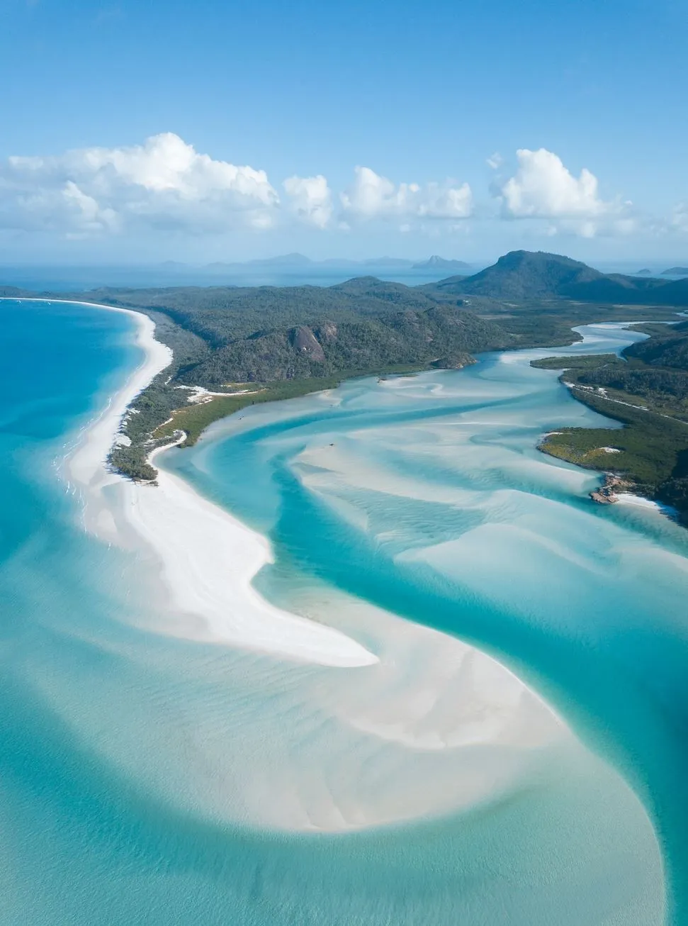
This is the most visitor-friendly stretch — Cairns, Port Douglas, Airlie Beach, the Whitsunday Islands. You’ve got pontoon tours, scuba diving sites like Moore Reef, helmet diving, glass bottom boat trips, underwater observatory decks, and operators like Sunlover Cruises, Quicksilver Cruises, and Wings Sailing Charters, Whitsundays.
- Best for: families, first-timers, snorkellers
- Expect: calm lagoons, reef fish, semi-sub tours, immersive experiences
- Access: Cairns Airport makes life easy
You’ve also got iconic spots like Heart Reef, Whitehaven Beach and Hill Inlet Lookout — all accessible by scenic flight or full-day boat trip.
The Southern Reefs (Lady Elliot, Musgrave, Capricornia Cays)
Cooler water, fewer crowds, and some of the healthiest coral reefs in the Marine Park. Wildlife goes nuts down here — manta rays, turtles, reef sharks, and huge schools of reef fish.
- Best for: photographers, conservation travellers, stable visibility
- Expect: coral cays, research stations, calm waters
- Access: Bundaberg, Agnes Water, Great Keppel and the Capricorn Coast, including Carnarvon, Byfield and Kroombit Tops
This region often cops with less heat stress, so that coral bleaching impacts can be lighter.
Seasonal Realities (So You Don’t Rock Up At The Wrong Time)
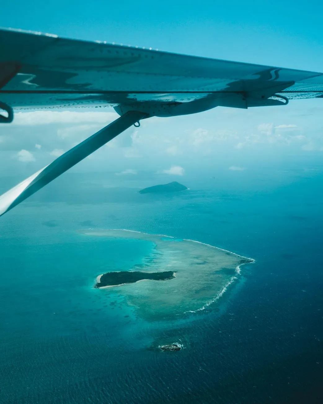 A lot of people plan Reef trips without a thought to seasons — next thing you know, you’re on a rocking boat in February trying to figure out why the whole place smells like wet wetsuits.
Quick Seasonal Lowdown
Dry Season (May–October):
You’ve got clear water, calm weather & light winds – perfect snorkelling conditions.
Wet Season (November–April):
Cyclones show up, it’s hot & humid, and the rain pours down. Plus, the stingers come in – you’ll want to grab a stinger suit.
Coral Spawning (usually happens in November):
That’s just a beautiful underwater snowstorm – but the visibility? Forget about it for a couple of days.
If you want the whole trip to work, go with the dry. If you want some drama and wildlife action, but remember to watch out for crocs around the estuaries, then head out in the wet.
How to Pick Your Reef Base (so Your Trip Doesn’t Fall Apart)
If time’s tight, pick one section of the reef & do it properly.
Best Spots for Different Traveller Types
- Short on Time/ Beginners: Cairns or Port Douglas
- Sailing Enthusiasts: Whitsundays
- Wildlife Buffs: Lady Elliot, Lady Musgrave, Lizard Island
- Avid Adventurers: Cape York or the Coral Sea atolls
FAQ
Where does the Great Barrier Reef Actually Start?
Around the Torres Strait off Cape York Peninsula
Where in the world does the Southern End actually finish?
Around Lady Elliot Island and Lady Musgrave Island – that’s the Southern Great Barrier Reef
Is the whole Reef inside the Great Barrier Reef Marine Park?
Just about all of it – managed by the Marine Park Authority
Which region has the clearest water in the whole Reef?
The Southern Great Barrier Reef – cooler currents make it a lot clearer
How do I even book a reef tour?
Start by looking at operators in Cairns, Port Douglas, Airlie Beach or the Southern Reef. There’s the Lady Musgrave Experience, Lady Elliot Island, & heaps of others that do online bookings.